Tuesday, Apr. 28, 2015
Pendleton, east on 84 to Baker City to get where I want to go today. 26 east of Pendlton is pretty amazing going up Emigrant Hill with 3 lanes open and clear in front. 65mph is just about right. East and westbound split off and looks like a pretzel on Google Maps. The freeway was constricted to single lanes on both sides of La Grande, but traffic was moving in an orderly fashion and wasn't too bad.
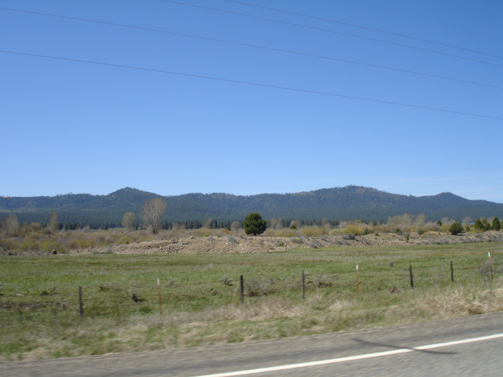
First up, Sumpter Valley Dredge State Heritage Area. The Sumpter valley has been mined side to side, bottom to top with dredge barges, leaving the valley floor lined with mounds of mine tailings. My folks took us there years ago, but at the time I had no idea where I was.
Got there finally, but the State Park was "Closed for Winter". Got some pictures of the tailings and one of the dredge from the road. Garn ...
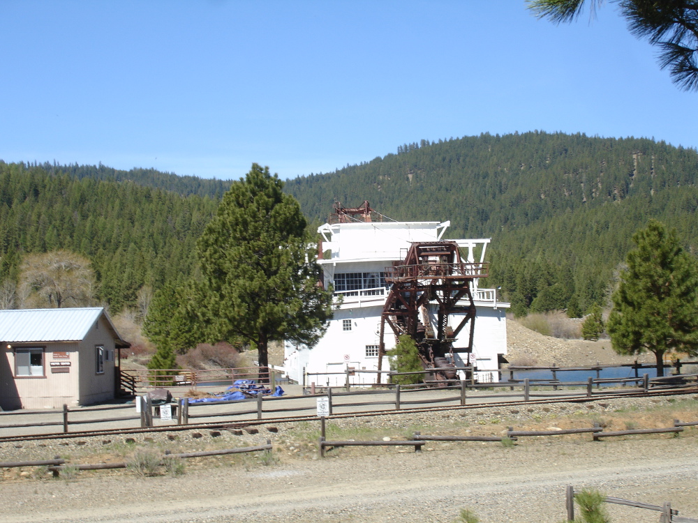
Dry, warm, not a lick of snow anywhere. Have to prevent thoughtless youfs from jacking up the equipment when the guards aren't there (would need thermite to shift most of the hardware), but I guess most of the housings are very old wood.
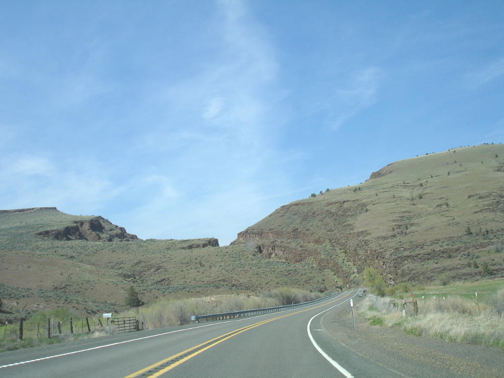
Decided to continue south on Hwy 7. It looks straight on the maps between Baker City and Hwy 26, but it's definitely not. Smooth surface, clean of rocks & sand and some of the best corners and passes around.
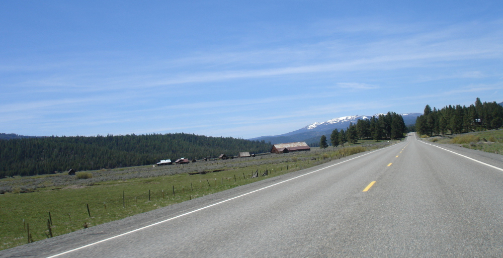
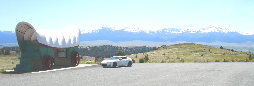
Found another ridiculously huge landmark on the southern end of hwy 7. Viewpoint and information kiosk looking over the upper drainage of the John Day River system. Strawberry mountain range on the far side.
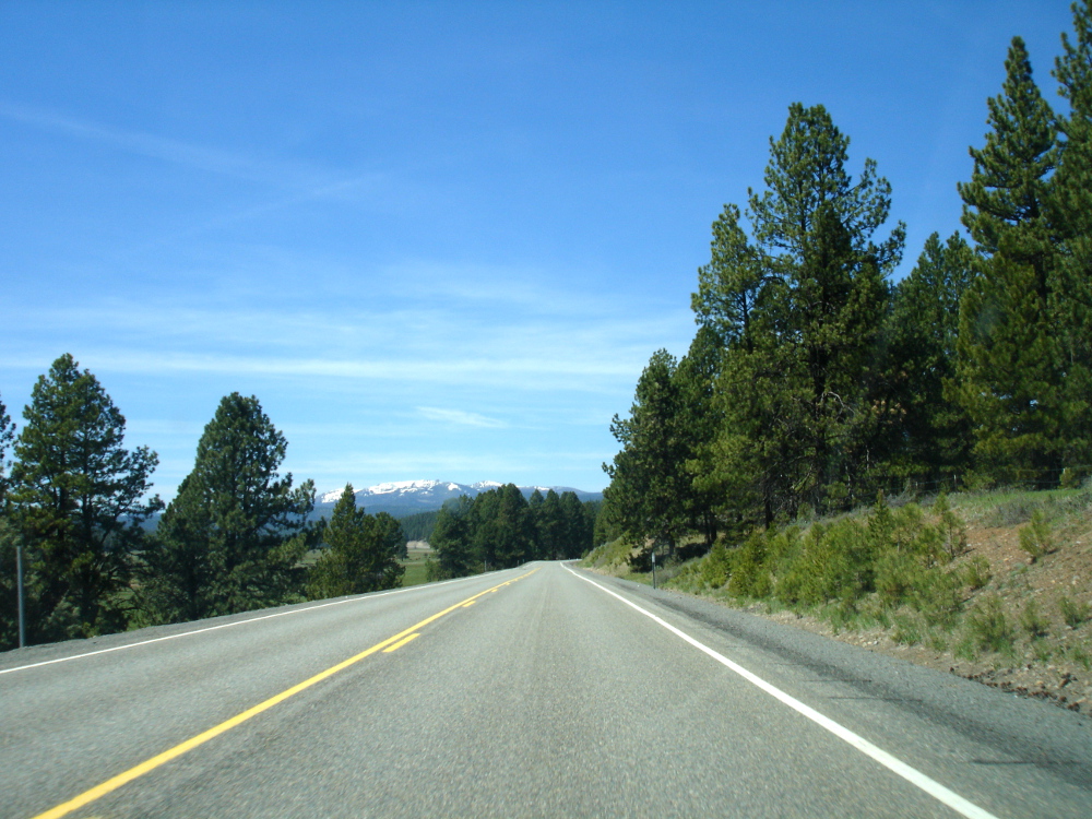
Hwy 26 is is typical rural state highway. No corners are going to sneak up so it's set the speed and forget it. There are ample passing areas though to get past people going 35 in a 55 zone.
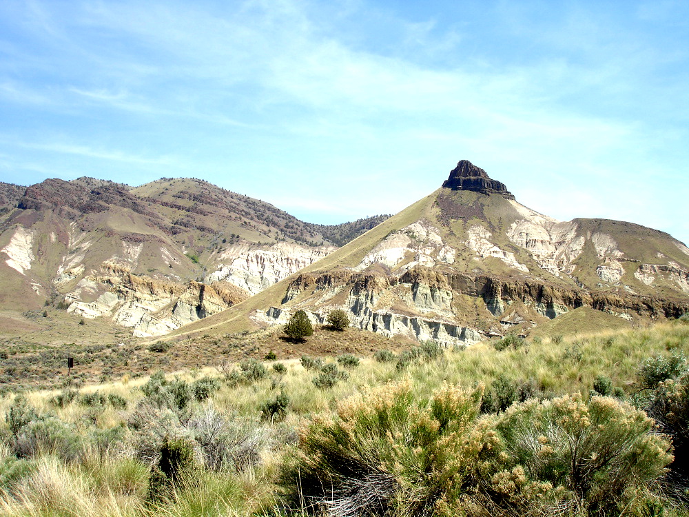
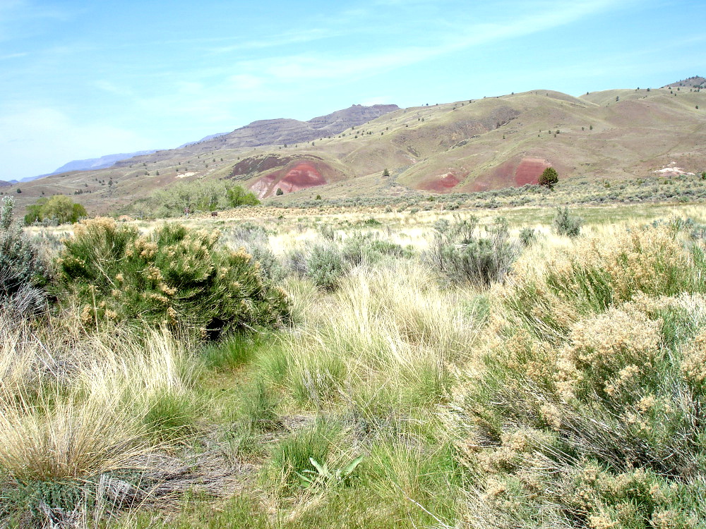
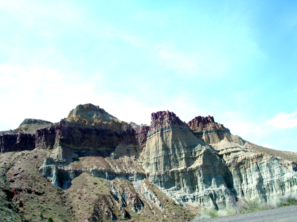
Went past John Day, then Dayville and a few miles past there headed north on 19. Some terrific canyon carving down the John Day river. This section runs through a deep deposit of sediment that left amazing colors behind. Comprable with Capitol Reef in UT, but much taller.
Backtracked through Spray and Fossil, but this time continued north to Condon. Between Fossil and Condon the road plunges to the bottom of the John Day River and back up the other side again. More canyons and corners. Condon is at the very top of a very high rolling plain and on occasions you can see for miles in any direction. There, I picked up 206 to Wasco, then down to 84 on the Columbia River and wound up for the night in The Dalles.
I was very lucky to make this trip early in the season. The roads were clear in front of me nearly all the way around. Once the motorhomes, campers, horse and boat trailers come out, most of these places would be dreary no doubt.
Features: Dissapointment! Passes, corners, elevation changes, colors, geology.